 Hiking maps (paper)
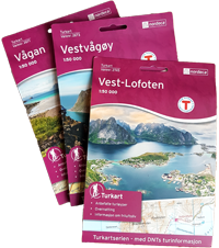
Three maps on a scale of 1:50,000 cover the whole of the Lofoten islands. You can buy them once you arrive in the islands at bookshops, most food-shops, petrol stations and tourist offices. It is cheaper to buy them in the Lofoten islands than on line. They are not very detailed and the marking of the routes is sometimes rather inaccurate. They are, however, the best available unless you decide to go for a handheld GPS with a vectorial map database.
|
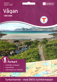
Vågan
Turkart 1 :50 000
(Varenr:2671)
Nordeca
Buy the Map
|
 |
 |
|
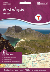
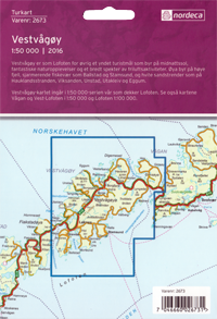
Vestvågøy
Turkart 1 :50 000
(Varenr:2673)
Nordeca
Buy the Map
|
 |
 |
|
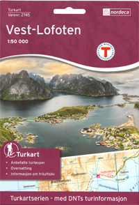
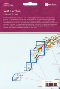
Vest-Lofoten
Turkart 1 :50 000
(Varenr:2745)
Nordeca
Buy the Map
|
 |
 |
Ready to pay?
Vectorial maps for handheld GPS (Garmin®) - Paid Download
Norway is entirely covered by 1:50,000 vectorial maps that can be used on certain handheld GPS systems as well as on mapping software packages such as Garmin Base Camp® or Garmin Map Source®. The extremely accurate Topo Experience Pro® series, which is published for Garmin® handheld GPS systems is available on line.
The series is available as 10 DVDs:
Topo Experience PRO 01 Sørvest
Topo Experience PRO 02 Sørøst
Topo Experience PRO 03 Vest
Topo Experience PRO 04 Sentral Øst
Topo Experience PRO 05 Nordvest
Topo Experience PRO 06 Trøndelag
Topo Experience PRO 07 Nordland Sør
Topo Experience PRO 08 Nordland Nord (LOFOTEN)
Topo Experience PRO 09 Troms
Topo Experience PRO 10 Finnmark
Choose for a free solution...
Frikart.no – free access vector maps for your Gamin GPS, PC or MAC - Free
Frikart.no offers free downloadable maps! Their accuracy and quality is in our opinion as good as the other paying maps available on the market. Even better, frikart.no’s maps are on a single file that covers the entire Norway (instead of the 10 different maps that you’ll need to cover the country when using the maps powered by Garmin® for example).
The following maps can be downloaded for free (for GPS, MAC and PC):
- Roadmap (road map)
- Topo Summer (hiking map) - Download here: GPS file, Mac installer, PC installer, Installation manual (in English)
- Topo Winter (hiking map including ski trails)
- Roadmap II (road map, designated by the Norwegian Mapping Authority - only in Norwegian)
- Topo Summer II (hiking map designed by the Norwegian Mapping Authority - only in Norwegian)
- Topo Winter II (winter hiking map designed by the Norwegian Mapping Authority - only in Norwegian)
- Trails - overlay map (this map contains only hiking trails and bike trails, it is used in superposition with buyable maps such as the "TopoPro Garmin" series.
- Cross country - overlap map (same principle as for the previous map, but for ski tracks)
Help instructions to instal and use these maps on your PC, Mac or GPS devise, can be found on frikart.no (instructions are in English and Norwegian).


