November 2020

November, frankly, isn't the happiest month of the year, at least on this side of the hemisphere and at my latitude, except maybe for die-hard mushroom pickers and rainboot lovers (they do exist!).
If I go back far enough in my memory, the arrival of the first mandarins and especially the prospect of my birthday on the near horizon, managed to color this brown and gray month with a certain joy and exitement.
Personally, I've been living in “November” for several months now, so for me it isn’t a big change. I do not intend to display my private life here on this informative website, of which the primary goal is above all to inspire people to travel and hike in the Lofoten Islands. I still want to share a bit with you readers.
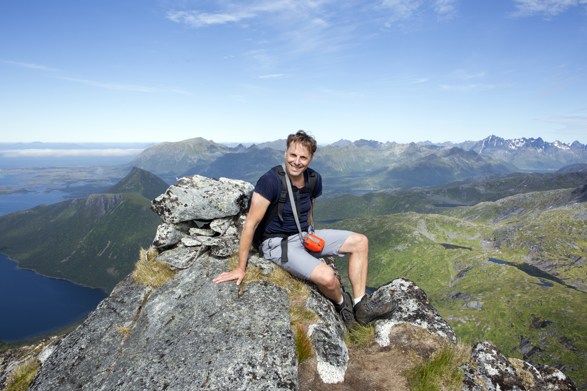
A difficult and sad period has taken place in my life, and it explains directly why for several months there hasn’t been any new content published on the website, and why the forum has not been administered correctly (some of your posts were not published, or they were, but with delay). In short words: I lost the man of my life this summer to a cruel illness from which too few unfortunately recover, regardless of their courage or will. Losing him is a disaster for me (and his nearest), but it is also a loss for a greater number of people. Indeed, he has contributed actively for making the Lofoten Islands more accessible to all nature lovers. He created a real craze for this destination for over the past 15 years. David was an excellent photographer, a professional drone pilot, a mountain guide (with all the qualities that are needed to manage a website that’s serious about hiking), a programmer in his spare time, and much more. His interventions, tallent and generosity of time through articles, photos, films… will be greatly missed on this website.
Hiking-lofoten.net has and is, as I am, experiencing an unprecedented period.
For several months now, we have all collectively entered a strange and frustrating period, in which it is no longer possible (for the obvious good of all), to move and travel as we please. Whereas we always did it without even thinking about it. The restrictions on movement are more or less complicated to deal with depending on the country you are in, and I understand that being limited to a radius within a mile of your home (France) is something extremely frustrating to experience. No one can say how long this will last. But I think it’s safe to say that even this pandemic will end and the day will come when we can get our duffel bags out and start to pack. And then, maybe traveling will have a more intense flavour than before. Maybe we will realize that we are very privileged to be able to travel at all, and that one or two beautiful trips a year (or in a lifetime!), are worth more than a frantic consumption of destinations that have “to be done » at least once in a lifetime. And for the most extrem among us, that traveling on a more exceptional basis will bring much more satisfaction than the multiplying of long weekends on the other side of the continent (or of the globe), under the sole pretext that the tickets are cheap and that we still have a few capitals to tick off the list. But it's much harder to stay still than to be in movement. I know that all too well.
Of course, my fingers are crossed that I’ll be able to return to the Lofotens (my second home) as soon as possible, hoping for next spring or summer, and I know that many of you dream of getting there for the first time too. Patience, that day will come. After autumn and winter there is always a spring! In the meantime, even if you can't fix a date, there's nothing stopping you from planning your trip and dreaming about the magnificent hikes you will one day do. New practical content will also be posted on hiking-lofoten.net during this winter and spring, so keep an eye open. I will try to live up to the work that we have already done with David so far.
I wish you the most pleasant fall possible, stay cool and put things into perspective (that's what I'm trying to do). And above all, it cannot be repeated enough: the sooner the epidemic is contained - also thanks to our responsible collective behaviour - the sooner we can regain our freedom to come and go.
MAGDALENA

