")


Hiking to Slettheia
 Easy
Easy Vestvågøya
 2 to 3 hrs
 7.62 km
 400 m
400 m 445 m
445 m Vestvågøy
 Until May at the summit
- Type of hike : Go back
- Visibility of the route : Good
- Start/Finish : Go to the Hagskaret pass, which is the farthest point on route 815 after Leknes, just before you go back down towards Stamsund. Park in the large car park on the left of the road.
- GPS Point : Start/finish: N68° 09.388' E13° 42.114'
Summit of Slettheia: N68° 08.168' E13° 42.996'
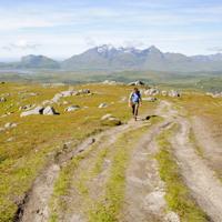
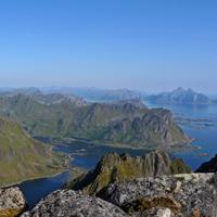
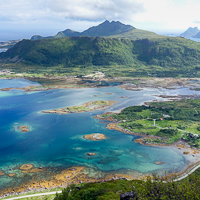
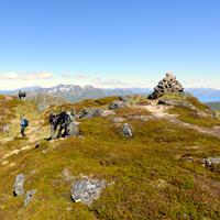
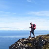
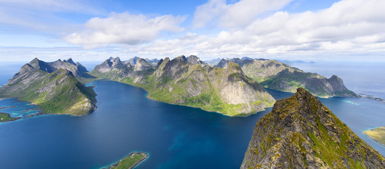
An easy hike that will enable you to explore the pastures of the Slettheia plateau which, despite a relatively low altitude, provides fabulous views over the turquoise-blue waters and bays below, as well as the plateau of Leknes and the various mountain ranges of the south of Vestvågøya Island. Perfect for children or half-day hikes.
More information about this hike...
|

 Yes
Yes Yes
Yes Yes
Yes
https://rando-lofoten.net/index.php/en/english-topos/310-slettheia#sigProIdee4207a4be


Download the route | Slettheia.gpx |
Join the start of the hike with Google Maps
You can use your actual location or enter the name of the place from which you wish to start